C-MAP delivers navigational marine charts with top-quality global data for lakes, coastlines and oceans so you know how to manoeuvre the waters no matter the sailing adventure. Using NOAA and Hydrographic office data, alongside their own survey and crowd-sourced data, uniquely quality-controlled by experts, you can always expect the most advanced navigational tools from C-MAP.
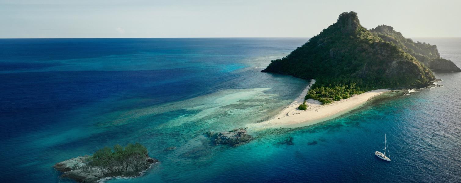
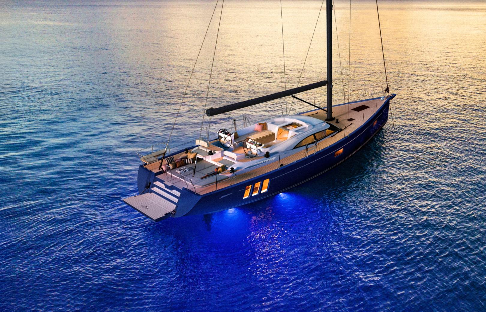
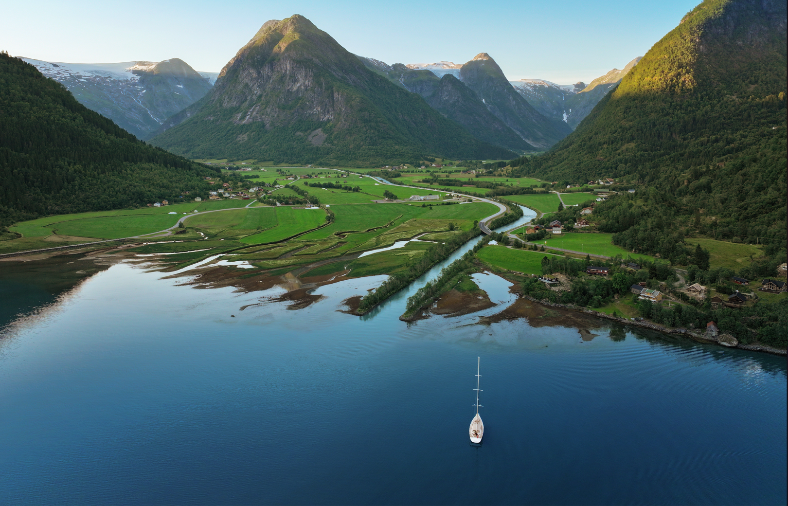
Thanks to the extensive coverage and accuracy of C-MAP charts, long navigations, such as the Oyster World Rally, and bluewater adventures, such as the ones of the Oyster Explorers Club, owners will always find the perfect charting solution.