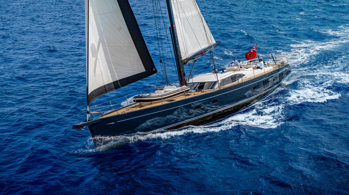
New Zealand is a small country, both geographically and in the number of inhabitants. But, there is perhaps nowhere else on the planet other than England where the people are as enthusiastic about sailing as here. The country was first settled by the Maori people who first arrived from Polynesia in significant numbers around 1350. It was first sighted by westerners when the Dutch Captain Abel Tasman passed by the top of the South Island but did not make landfall. Captain Cook arrived in 1769 and the islands were gradually settled by Englishmen thereafter.
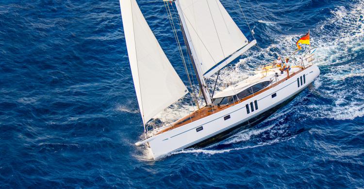
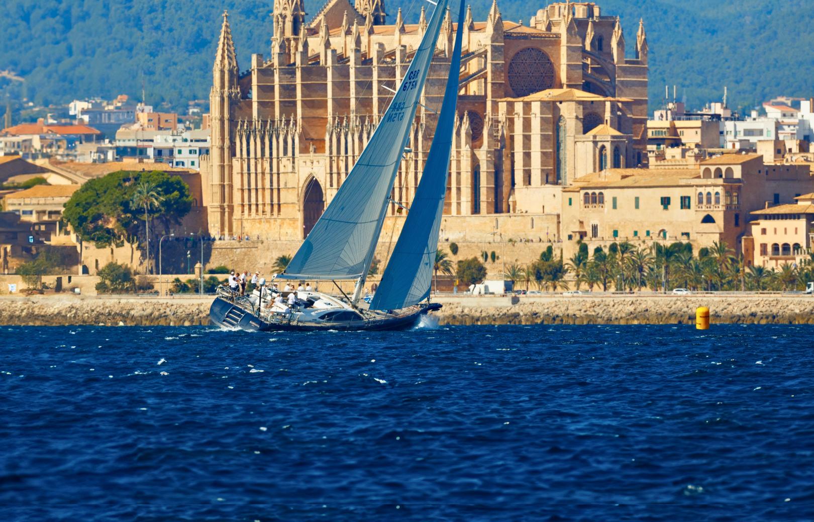
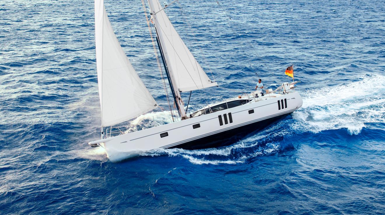
New Zealand has two main islands – North and South. The North Island is closer to the equator than the South Island, and therefore warmer. The greatest concentration of sailboats is in Auckland (Latitude about 36.5 degrees S), which is at the head of the Hauraki Gulf and surrounds Waitemata Harbor. It is said that there are more boats per capita in Auckland than in any other city in the world. The largest marina in Auckland, Westhaven, has roughly 1,600 ships and is said to be the largest marina in the southern hemisphere. Westhaven also hosts a yacht club - the Royal New Zealand Yacht Squadron - which is quite nice (reciprocity required).
Because of the concentration of sailboats, every type of boating expertise and product is available in Auckland and very conveniently as well. Greater Auckland dominates the New Zealand economy, and has roughly half the population of the country as well as its principal international airport. It is a small wonder that many of the world’s prominent racing captains hail from Auckland. Not to be missed in Auckland is the maritime museum, located in the small, but very nice Viaduct Marina downtown.
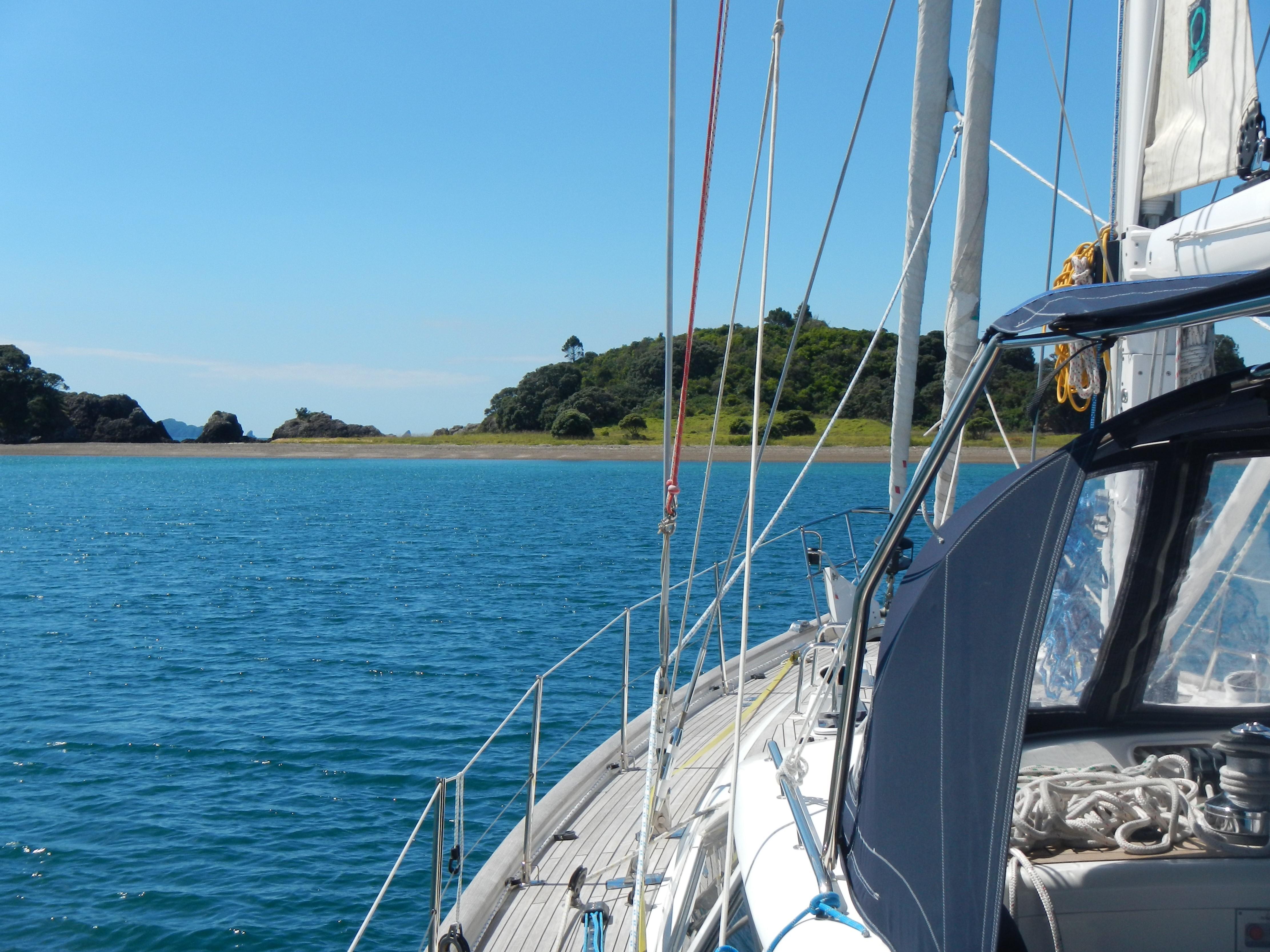
In spite of the prominence of Auckland, most international boats arrive from the north and clear Customs in Opua. We were told recently that Opua clears 80% of all entering sailing vessels. Opua is at the head of the Bay of Islands on the northeast coast of the North Island (Latitude about 35 degrees S). The town has a sizable marina, a 50 ton Travel Lift, two chandleries, and at least one provider of nearly every type of service. Meals are served most evenings at the local cruising club (reciprocity not required) and there is an excellent local cafe. Restaurants and accommodation are largely in Paihia, about 5km to the northwest. Our 56, Quester, is on the hard at the yard in Opua for the second time, and will be re-rigged there by a local rigger.
Very close to Opua are a group of small islands with delightful anchorages. Just across from Paihia is Russell, the country’s original capital, and now a pleasant anchorage with a variety of shops and restaurants ashore. Not far from Paihia on the mainland is the Waitangi Treaty Grounds, commemorating the treaty between the English and Maori peoples signed in 1840 at this location. Among other displays is a Maori war canoe.
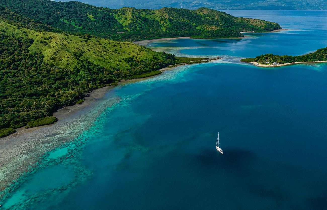
The vast majority of cruising sailboats in the country are found in Auckland, Opua, or in-between. While there are a couple of lovely harbours north of Opua, the bulk of the anchorages are nearby, along the way to Auckland, and northeast of Auckland. The whole area is stunningly beautiful. Not far south of Opua is Whangarei (for some reason “Wh” is pronounced like an “F”), which is a large and industrialised harbour. Whangarei sports several marinas (the closest one to the mouth of the harbour is Marsden Cove), a 100 ton Travel Lift, an oil refinery (with an interesting exhibition open to the public) and typical urban services.
New Zealand is well south of the SE trade wind belt of the South Pacific. Yet only the southern section of the South Island is far south enough to consistently catch the Westerlies. While the prevailing winds are more or less SW, they don’t prevail that often and the main cruising grounds are truly in the ‘variables’. In other words, the weather a cruising boat is likely to encounter is controlled mainly by frontal passages, and winds can come from any direction. Luckily, there are a large number of anchorages in the main cruising ground so that one can often select an anchorage sheltered from the wind.
Although most of the cruising activity takes place between Auckland and Opua, there is another concentration of sailing vessels in the vicinity of the Cook Straits, between the two islands. The capital, Wellington, on the southern tip of the North Island, has a nice marina downtown (Chaffer’s) and is a very nice small city. There is a yacht club (Royal Port Nicholson Yacht Club) near to the marina. But not for nothing is Wellington known as ‘Windy Wellington’ and care must be taken entering the narrow channel leading from Cook Strait into the bay.
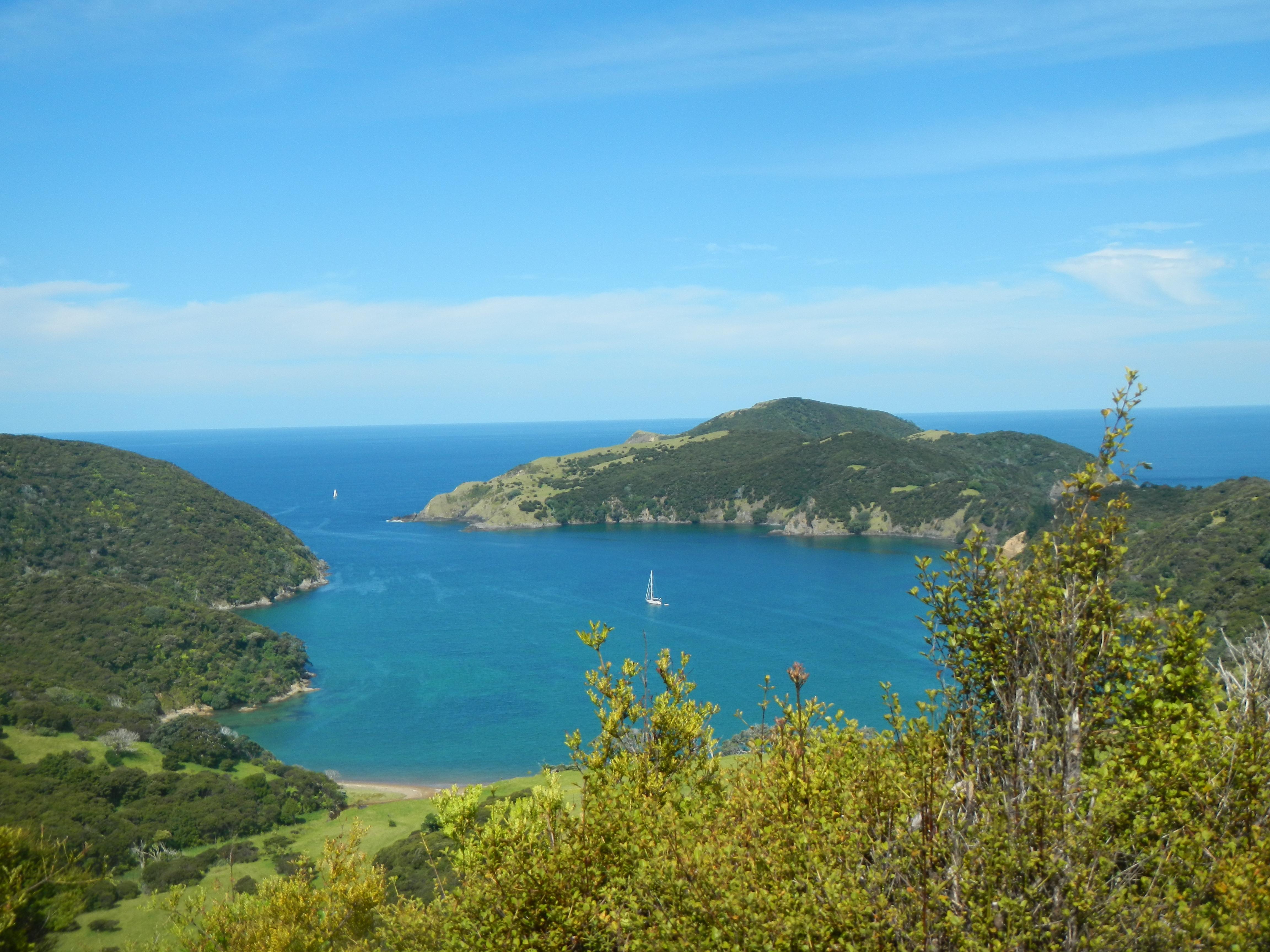
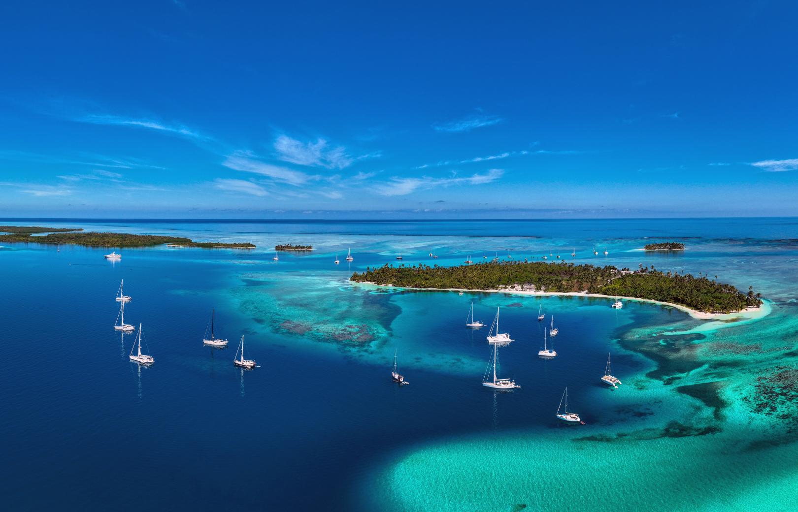
On the southern side of the Strait, on the northern tip of the South Island, lies the cruising ground known as the Marlborough Sounds, with Picton at its head. This area is truly gorgeous, and has two marinas, one quite large one in Picton itself and one not far north of Picton. When we made landfall in Picton after a nine day crossing of the Tasman Sea from Newcastle, Australia this February, we found it simply marvellous.
Marlborough Sounds is simply delightful. The rather well known walking track, the Queen Charlotte Track, is here. Connected to Marlborough Sounds through a series of intricate passages, is the small city of Nelson, which is at the head of Tasman Bay. Nelson is a nicely situated small city that is reputed to have the sunniest climate in New Zealand. A point to note about the area between Wellington, Picton and Nelson is that the entire area is tidal, so taking care with tidal flows, which can be quite strong in some of the narrower passages, is a good idea. Even the Cook Strait has a significant current, and it is best, as usual, to avoid wind against current situations.
Most local sailors spend their time either racing around the buoys, or spend weekend and holidays at their favourite islands (Waiheke, Great Barrier, Mercury Island). Waiheke Island is very close to Auckland, and along with the Coromandel Peninsula, is a weekend holiday ground. Great Barrier Island has multiple lovely anchorages. Ferries from Auckland arrive in Waiheke Island frequently during the day and a bit less often at Great Barrier Island. The Mercury Islands are equally beautiful but a bit further afield. Most local cruising boats make passages to and from ‘the islands’ when the fancy strikes them.
‘The islands’ are Fiji, Tonga, and less visited New Caledonia. The rare cruiser may circumnavigate the North Island (normally done counter-clockwise) and the even rarer cruiser may circumnavigate the South Island. Note: The West coasts of both islands are steep-to, have few harbour, and are on lee shores, so a good weather window is required on the west side of the islands. These circumnavigations are akin to an ocean passage, and not to be taken lightly. For example, when leaving Wellington for Auckland, the first harbour is in Napier, 230 nautical miles to the north, around Cape Palliser. And the trip from Gisborne up around East Cape to Auckland is 240 nautical miles.
In addition to being enthusiastic boaters, we found the Kiwis to be very friendly to visiting sailors. While we were anchoring in Hawke’s Bay north of Napier, we were accosted by a recreational fishing boat and the couple aboard insisted on giving us three large crayfish (we call them lobsters in the States). On another occasion an amateur photographer photographed our vessel and presented us with a printed copy of the photo.
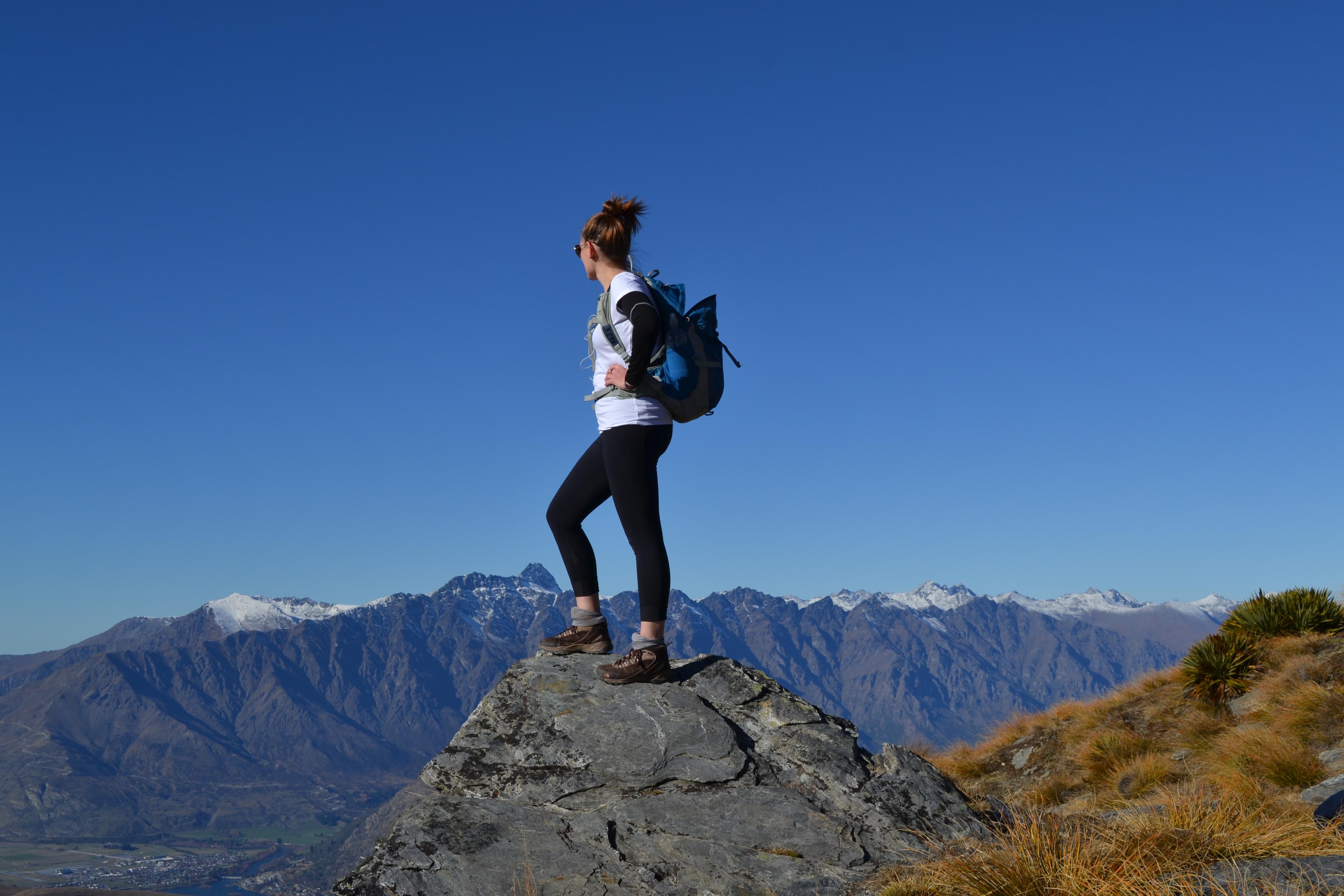
Transportation in New Zealand is good and there are ample opportunities for tourism off the boat. Popular spots on the South Island are Queenstown, Mt. Cook, and Milford Sound, all worthwhile expeditions. Kiwis are great lovers of the outdoors, and there are many well-maintained hiking trails. All manner of outdoor sports and activities are enjoyed, both on and off the water. For example, even though water temperatures are much lower than in the tropics, Kiwis are enthusiastic divers. And, of course, bungee jumping was invented here.
Dairy farming is the largest export industry in the country and is practised on both islands. The second largest export industry is silviculture, concentrated on the North Island in the area between Napier and Gisborne. This area also produces a lot of wine. New Zealand also produces fruits and vegetables, especially in the area just north of Opua and in the vicinity of Kerikeri (where the airport serving Opua is located).
USEFUL RESOURCES
Charts
Paper charts are readily available. Navionics has several charts chips that include New Zealand. A local resource is a CD containing all the Raster charts for the country along with a mapping programme for a PC. The disk is called Memory- Map and is available, among other places, at Boat Books near Westhaven in Auckland.
Communications
Vodafone offers a good cell phone service and decent cell-phone based internet. We had a ‘hot-spot’ on board that could support five devices and we had coverage all the way from Picton to Opua.
Customs Clearance
Incoming vessels must contact Customs 48 hours in advance of clearing. Foreign vessels can remain in New Zealand for 24 months without being imported. At clearance a ‘Temporary Import Exemption’ (TIE) document is obtained. This document can be used to eliminate GST on purchases for the boat while in the country.
Electricity
Shore power connections require an electrical inspection and sticker.
Gas
Gas suppliers in New Zealand will only refill cylinders that are stamped in New Zealand.
Pilots
All the popular areas are covered by readily available pilots. The pilots for the Hauraki Gulf and the Northlands (which covers the Bay of Islands) are particularly good.
Weather Forecasts
The official weather site is the Met Office.There are weather broadcasts on the VHF every few hours (listen on Channel 16) and in the Auckland area continuously on Channel 21. A more useful site is MetVuw and perhaps the best site is windy.com.